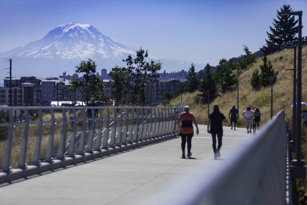
Sound Safe Infrastructure: Building a future with resilient infrastructure and ecosystems
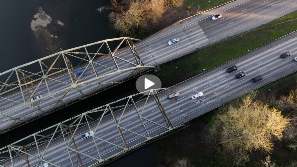
Tribes, local governments, state agencies, and nonprofits are working together to plan and complete infrastructure improvements that contribute to Puget Sound ecosystem and salmon recovery. This relationship between the recovery and transportation sectors creates Sound Safe Infrastructure, which produces better outcomes for people, salmon, and the environment.
The Bipartisan Infrastructure Law and the Inflation Reduction Act provide transformational funding to support Puget Sound recovery priorities
Funding from the Bipartisan Infrastructure Law and the Inflation Reduction Act has supported projects for salmon recovery, fish passage, habitat restoration, greenhouse gas reduction, environmental health improvement, mobility and safety, flood-hazard reduction, invasive species management, and more.
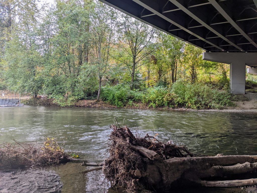
Resilient floodplains for people and salmon
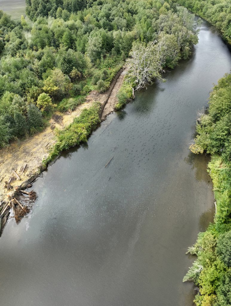
Salmon recovery partners throughout the state—including Tribes, local governments, and nonprofits—have seen their projects delayed or cancelled due to impacts from a change in the Federal Emergency Management Agency’s (FEMA) no-rise policy. The no-rise policy now mandates costly analyses for salmon habitat restoration projects. Partners are seeking to work with FEMA to change the policy so that it’s more flexible for restoration activities.
Doubling down on restoration: How the Salish Sea Nearshore Programmatic and the Partnership’s Nearshore Credits Program drive restoration throughout Puget Sound
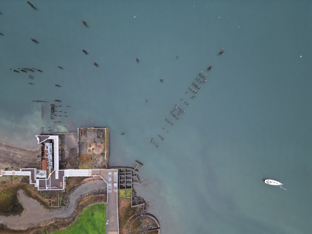
The Salish Sea Nearshore Programmatic is a regulatory tool that helps proponents of on- or over-water construction projects balance out the ecological impacts of construction with equivalent ecological offsets. Project proponents can offset these impacts by purchasing conservation credits from the Partnership’s Nearshore Credits Program, which helps fund restoration throughout the region.
Point Ruston’s transformation from polluted smelter site to waterfront destination
Ruston, near Tacoma, was the location for a massive copper and arsenic-producing smelter operation for almost 100 years. Ruston and the northeast part of Tacoma were shaped by the smelter and its pollution, and the subsequent cleanup and redevelopment of the area have transformed Point Ruston into a bustling destination for folks throughout the South Sound.
Puget Sound Day on the Sound
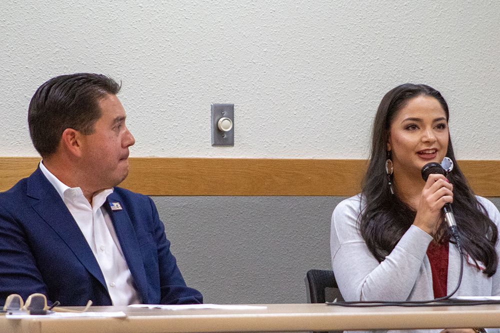
Representatives from federal and state agencies, Tribes, and local governments convened in Tacoma on Tuesday, Oct. 10 for the third annual “Puget Sound Day on the Sound” event. Over the course of several panel discussions, participants spoke about opportunities to better coordinate and align resources to accelerate Puget Sound recovery and support Tribal treaty rights.
Making Waves Conversations: Nora Nickum on her new book, “Superpod: Saving the Endangered Orcas of the Pacific Northwest”
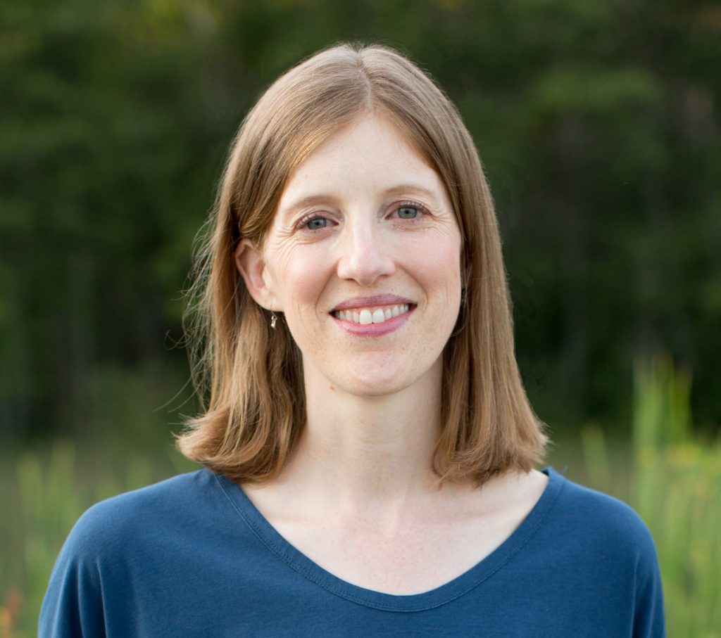
This episode of Making Waves Conversations features an interview between Laura (Blackmore) Bradstreet, executive director of the Puget Sound Partnership, and Nora Nickum, senior ocean policy manager at the Seattle Aquarium and author of books and magazine articles for kids. In the interview, Laura and Nora discuss Nora’s new book, “Superpod: Saving the Endangered Orcas of the Pacific Northwest;” orca recovery; and what it takes to make scientific information accessible for all readers.
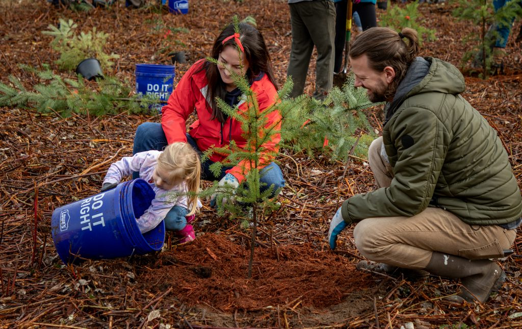
Puget Sound Geographic Program funds at work
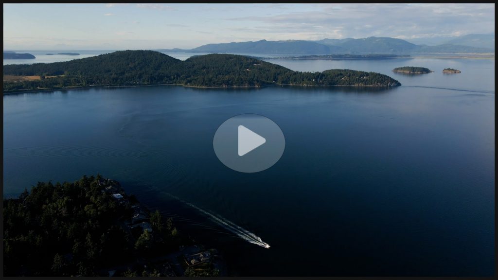
The National Estuary Program and the Puget Sound Geographic Program have provided key funding for hundreds of projects throughout the Puget Sound region. Our new video highlights a few of the people and projects that are putting that funding to work and making a difference to the health of the Puget Sound ecosystem.
Clearing the road for salmon recovery: 6PPD-quinone and mitigation solutions

6PPD-quinone, the byproduct of a chemical added to automotive tires to keep them from breaking down, is lethal to coho salmon. People and organizations throughout the region are working hard to figure out how to control 6PPD-quinone pollution and remove it from stormwater runoff.
Preventing stormwater pollution protects what we care about
The Stormwater SIL recently awarded $1.6 million in Puget Sound Geographic Program funds to help prioritize locations for stormater management projects, control and lessen stormwater flow, improve water quality, control and lessen 6PPD-quinone, and replace culverts.